
Technology
Formerly homeless Colquitt County man now helping others, pushing for change in Moultrie
By Sofia Morales
Advertisement · Why this ad?
With a Bachelor’s degree in Public Health from the University of Florida, Sofia has spent over four years reporting on health issues affecting local communities. Her previous work included stints at local health magazines and news websites.
More from Sofia →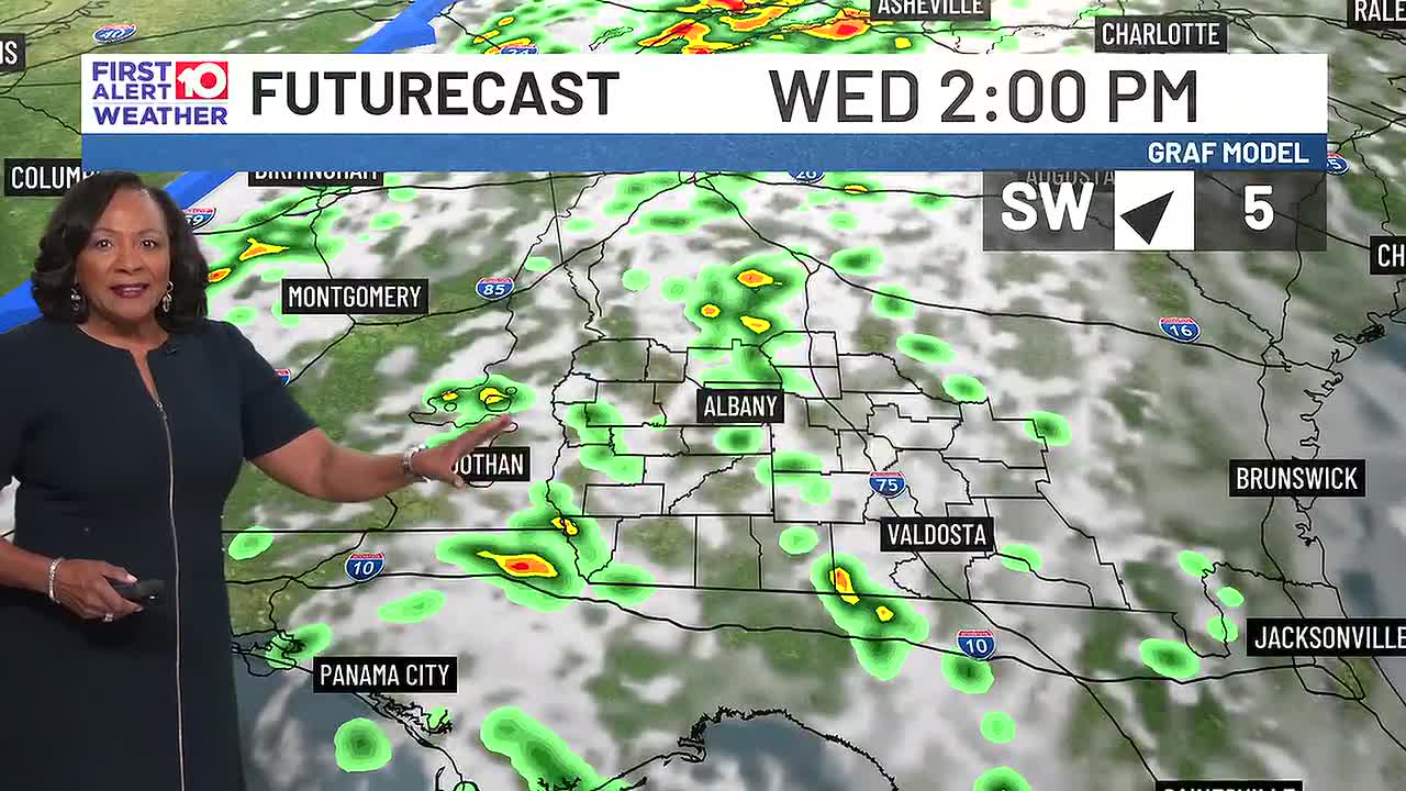
ALBANY, Ga. (WALB) - Unseasonably warm/mild, humid air remains firmly in place across SGA tonight. However changes are on the doorstep as our next weather-maker approaches for Wednesday. Southerly winds will pump Gulf moisture northward ahead of an approaching cold front, setting up a wet Wednesday.Wednesday (First Alert Focus): Morning isolated showers become more widespread into the afternoon, with showers likely and isolated thunderstorms developing after 3 p.m. as highs top low 80s. While a few storms could produce brief heavy downpours, the front weakens as it arrives, keeping the severe weather threat limited (general thunderstorms only).Wednesday Night into Thursday: Rain chances drop to 40% Wednesday evening, then taper off. Thursday brings fair skies, highs low 80s, and a slight chance of a few pop-up afternoon showers or storm.Weekend Fall Chill: A cold front finally sweeps through SGA on Friday, clearing out the mugginess. Expect highs to fall to mid 70s Saturday and low 72s
By Sofia Morales

By James Ramirez

By Rita Martinez

By Caleb Wright